

West Highland Way Map Booklet
Estimated Shipping Widget will be displayed here!
Description
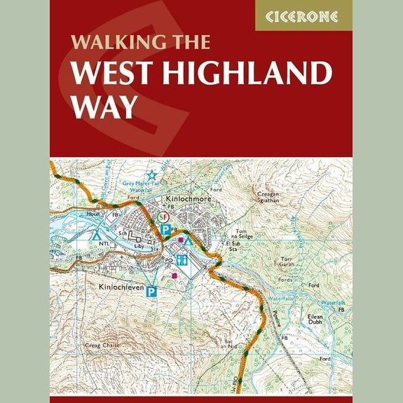
The Cicerone West Highland Way Map Booklet is a compact and practical navigation tool designed specifically for walking Scotland’s most popular long-distance route. Covering the full trail from Milngavie to Fort William, it provides detailed Ordnance Survey mapping in a lightweight and easy-to-carry format.
Using a 1:25,000 scale, the booklet clearly shows the full route line along with key map features, making it ideal for accurate navigation on the trail. Its pocket-sized design means it can be easily stored in a jacket or rucksack, allowing quick access while walking.
Ideal for multi-day hikes such as the West Highland Way or Duke of Edinburgh Award expeditions, this booklet provides all the mapping needed without the bulk of carrying multiple maps. It can be used to walk the route in either direction and is a reliable companion for both first-time walkers and experienced hikers.
Key Features
- Full West Highland Way route on 1:25,000 OS maps
- Compact and lightweight booklet design
- Pocket-sized for easy access on the move
- Clear route line for simple navigation
- Can be used in both directions along the trail
- Includes OS map legend extracts
Specifications
- Map Scale: 1:25,000
- Route Coverage: Milngavie to Fort William (approx. 96 miles / 155km)
- Format: Pocket-sized booklet
- Use: Hiking, navigation, long-distance walking
Notified by email when this product becomes available

£9.95
