


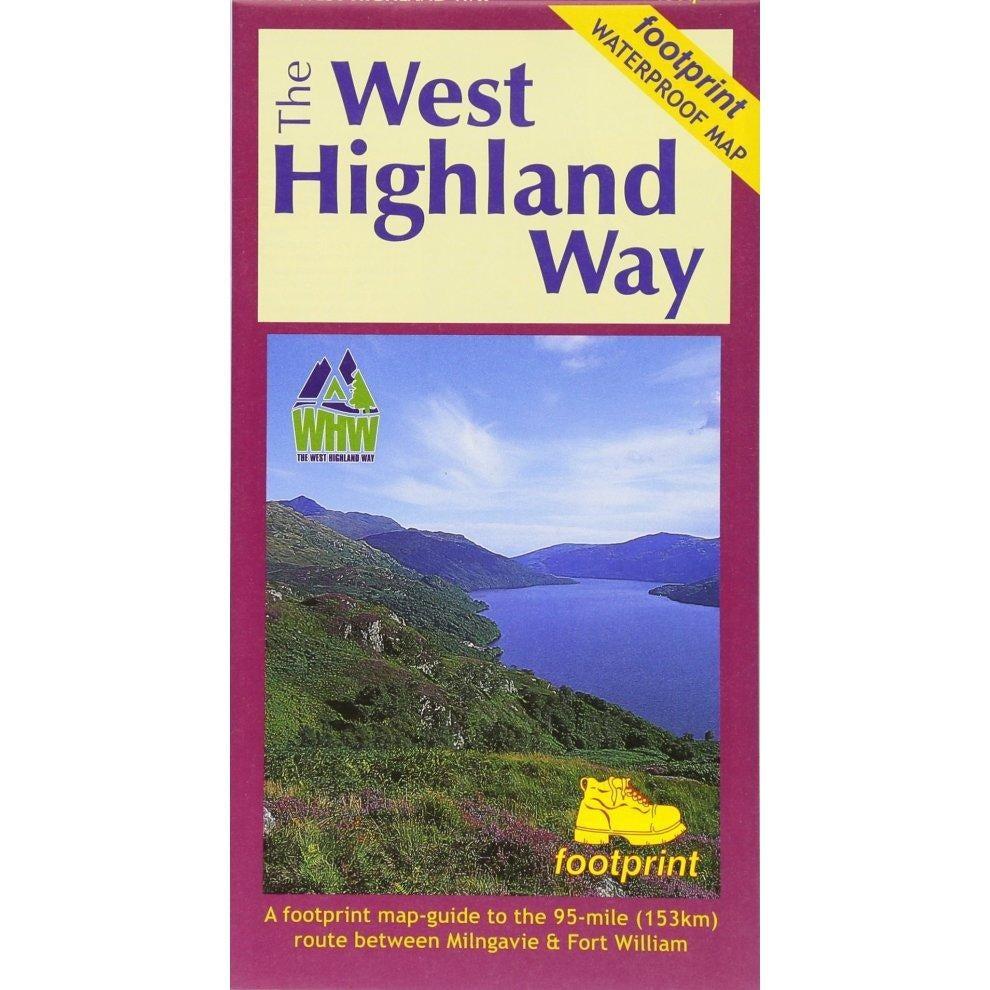
West Highland Way Waterproof Map | Footprint Walking Map Milngavie to Fort William
Estimated Shipping Widget will be displayed here!
Description
The West Highland Way Waterproof Map from Footprint is a practical and reliable guide to Scotland’s most popular long-distance walking route. Covering the full 95 mile (153km) journey from Milngavie to Fort William, it provides clear navigation and essential information for walkers.
Designed using Ordnance Survey mapping at a 1:40,000 scale, the map offers a detailed and easy-to-read layout that helps you stay on track throughout the route. Its compact format makes it easy to carry in your pack or pocket, while still including key route details, terrain features, and useful walking information.
Built from durable waterproof material, this map is designed to withstand typical UK weather conditions, making it a dependable choice for use on the trail. Whether you're planning the full West Highland Way or tackling sections, it’s a straightforward and reliable navigation tool.
Key Features
- Covers the full West Highland Way (95 miles / 153km)
- Route from Milngavie to Fort William
- Ordnance Survey based mapping (1:40,000 scale)
- Waterproof and durable for outdoor use
- Compact and lightweight design
- Clear, easy-to-read layout with key route information
Specifications
- Route Length: 95 miles / 153km
- Scale: 1:40,000
- Map Type: Waterproof folding map
- Coverage: Milngavie to Fort William

Notified by email when this product becomes available

£15.95
