

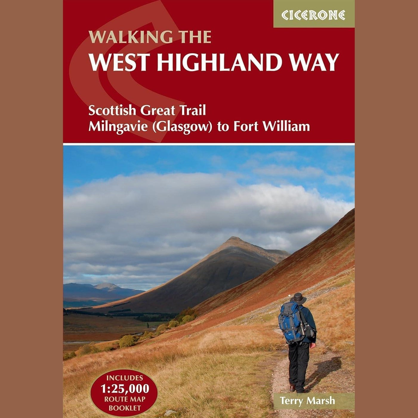
West Highland Way Guide Book | Cicerone Walking Guide with Map Booklet & GPX
Estimated Shipping Widget will be displayed here!
Description
This Cicerone guidebook to the West Highland Way is a practical and trusted resource for walking Scotland’s most popular long-distance trail. Covering the full 156km (96 miles) route from Milngavie to Fort William, it provides clear guidance and planning support for completing the trail, typically over 7 stages.
Designed to be used on the trail, the guide combines step-by-step route descriptions with essential planning information, making it suitable for both first-time walkers and experienced hikers. The route is presented south to north, helping you follow the gradual transition from lowland scenery to the dramatic landscapes of the Highlands.
A separate lightweight map booklet is included, featuring Ordnance Survey 1:25,000 mapping with the full route clearly marked. This allows for reliable navigation without the need to carry multiple maps.
Key Features
- Covers the full West Highland Way (156km / 96 miles)
- Route split into 7 stages for manageable planning
- Includes separate OS 1:25,000 map booklet
- Step-by-step route descriptions with 1:100,000 mapping
- Downloadable GPX files for digital navigation
- Trek planner with accommodation and transport information
- Comprehensive accommodation table for route planning
- Includes insights on terrain, history, and conditions
Coverage Includes
Milngavie, Drymen, Loch Lomond, Rannoch Moor, Glencoe, Kinlochleven, Fort William and Ben Nevis
Specifications
- Route Length: 156km / 96 miles
- Map Scale: 1:25,000 (map booklet), 1:100,000 (in-book maps)
- Format: Rucksack-friendly guidebook with separate map booklet
- Navigation: Includes GPX downloads
- Author: Terry Marsh
- Use: Long-distance walking, navigation, route planning
Notified by email when this product becomes available

£17.95
