


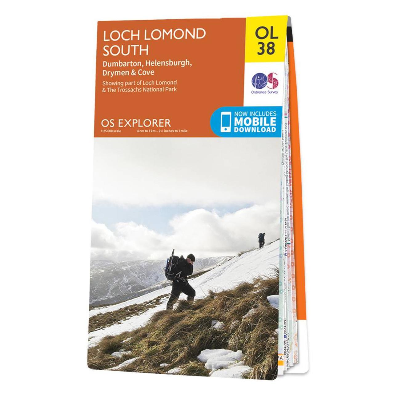
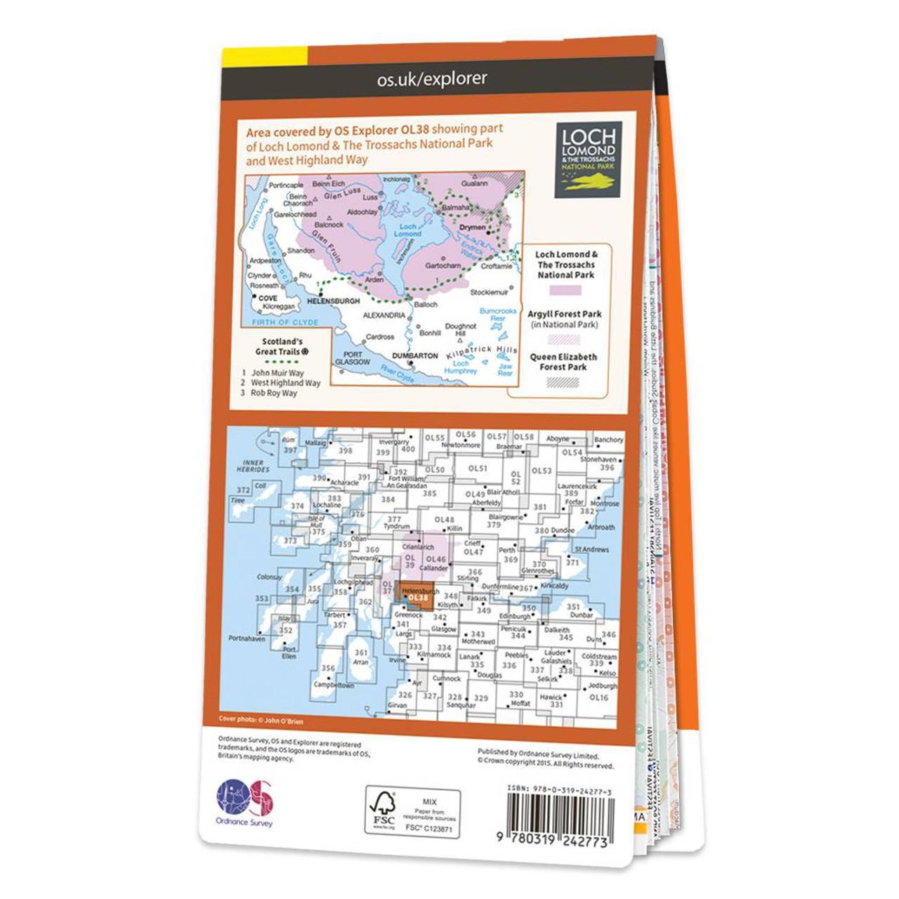
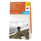
Ordnance Survey Map of Loch Lomond South: Explorer OL38
Regular price
£18.95
Regular price
£0.00
Sale price
£18.95
Unit price
per
Taxes included.
Shipping calculated at checkout.
Estimated Shipping Widget will be displayed here!
Description
1:25 000 scale (4 cm to 1 km – 2.5 inches to 1 mile) The essential map for outdoor activities.
OS Explorer Map is the Ordnance Survey’s most detailed folding map and is recommended for anyone enjoying outdoor activities including walking, horse riding and off-road cycling. Providing complete GB coverage, the OS Explorer map series details information essential in the great outdoors, including youth hostels, pubs and visitor information. Rights of way, fences, permissive paths and bridleways are clearly shown, ensuring you have the best information to get the most out of your time in the countryside.
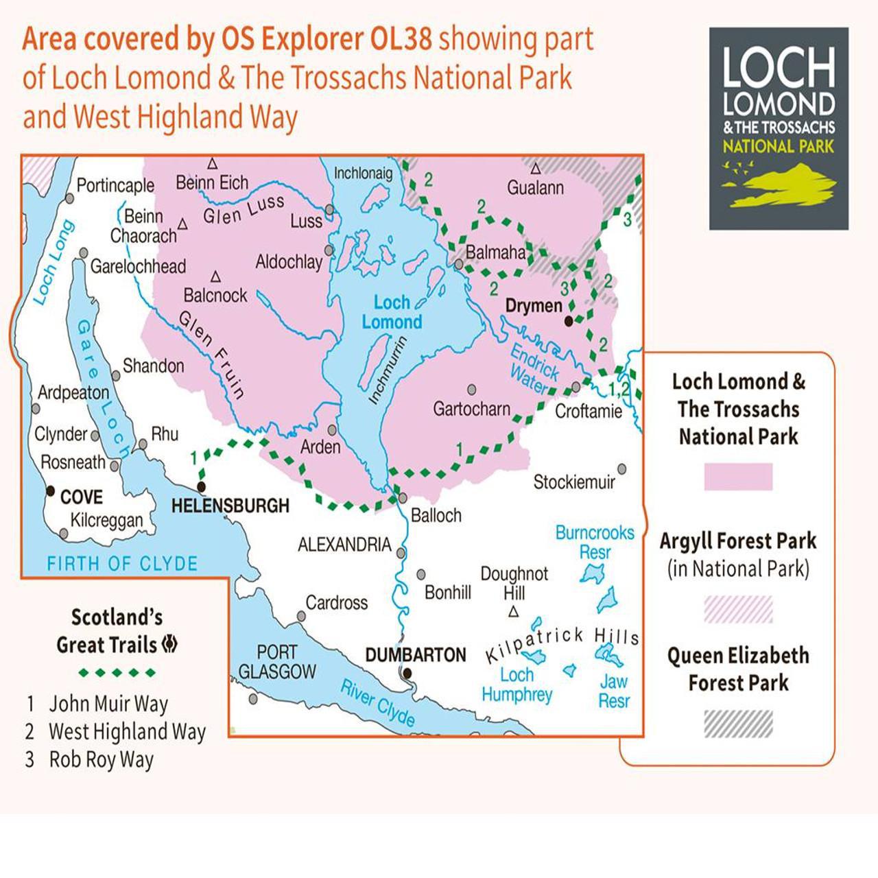
OL38 Loch Lomond South areas featuring:-
-
Loch Lomond & The Trossachs National Park
-
West Highland Way
-
West Highland Way (Long Distance Route)
-
Central
-
Strathclyde
-
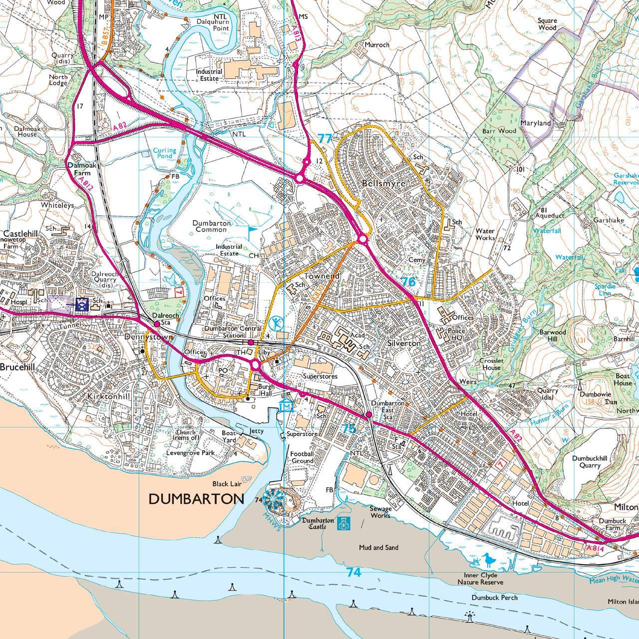
Dumbarton
Notified by email when this product becomes available
Ordnance Survey Map of Loch Lomond..
£18.95